Snow may not be the biggest story on the US power grid this winter. One of the strongest El Niño events on record is expected to bring rain to parts of Canada, storms and even tornadoes to Texas, and mudslides to California.
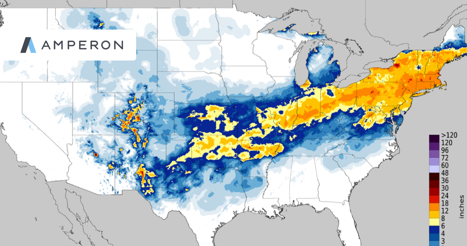
That is a sharp turn from last winter, when a weak seasonal signal left the door open to almost anything and Winter Storm Fern walked right through it. This year, forecasters are working with one of the clearest signals in decades. Expect a wet, cloudy South, a warm, dry North, and temperatures near or above normal across most of the country.
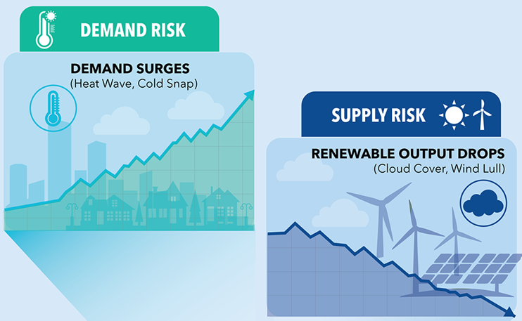
A clear signal is not the same as a calm season, though. El Niño shifts grid risk away from deep freezes and toward rain, clouds, water supply, and the days that refuse to behave like the average. Here are Amperon's top 3 US grid risks for Winter 2026-2027:
1. Clouds and Rain Will Reshape Power Prices in the South
A strong El Niño pushes the Pacific jet stream south, steering storm after storm across the southern tier. That should help drought-stricken reservoirs, but drought-hardened ground is another matter. Dry soil can't absorb heavy rain all at once, so California and the Desert Southwest face real risk of flash floods and mudslides, especially where coastal storms line up with Kelvin waves and king tides.
For power markets, the bigger story is the sun, or the lack of it. California has grown used to midday power that costs next to nothing. In May, solar curtailment hit a record and SP15 on-peak day-ahead prices averaged just $2.80/MWh. On dark, rainy days, solar output drops, the duck curve flattens, and midday prices could clear well above what the market expects.
California's roughly 17 GW of batteries may also struggle to fully charge under gray skies, leaving less stored energy for the evening. If several older gas plants retire on schedule this winter, the state loses some of the flexible capacity that matters most on exactly those evenings.
Texas tells a similar story with a twist. ERCOT's solar fleet topped 35 GW this summer, and cloud cover will cut into it, but the same storms should lift wind output. The days to watch pair weak sun with a lull in wind. That's when scarcity can sneak in even if demand looks ordinary. With more than 19 GW of batteries now on the system, how much charge they carry into the evening will matter more to real-time prices under RTC+B.
Texas weather could get strange, too. Shallow cold air meeting southern moisture is how the state gets ice, and stretches of record warmth could spark winter thunderstorms and possibly even tornadoes. Further east, southern MISO and SPP should see the same cloudy, rainy pattern trim solar output from Louisiana to Oklahoma.
2. A Dry North Puts Hydropower at Risk Into Summer 2027
The northern half of the country faces the opposite problem. Warm, dry conditions are expected across the Pacific Northwest and northern Rockies, a region that is already behind. Snowpack hit record lows and melted weeks early in 2026, and both Washington and Idaho declared drought emergencies this spring.
Mountain snow works like a savings account for hydropower, releasing water gradually as it melts in spring. A thin snowpack this winter means less water in reservoirs heading into what could be another hot summer, and warm spells could melt whatever snow does fall too early. A weak spring for hydro would tighten Northwest supply, reduce exports into California, and could keep prices elevated well into 2027. One caveat: the very strongest El Niños haven't always followed the warm, dry rule in the Northwest, so early-season snowpack deserves close attention.
A similar dynamic may play out north of New England. NYISO and ISO-NE now have dedicated transmission lines into Hydro-Québec, but years of drought have drawn Québec's reservoirs down. The New England line went roughly 27 days with no flow at all through April, and Hydro-Québec cut exports entirely during last January's cold snap.
This winter could make that worse. A warm season in eastern Canada means more rain and less snow, and rain runs off right away instead of refilling reservoirs in spring. If those reservoirs stay low, Québec will put its own customers first during cold snaps, so Northeast market participants should treat Canadian imports as a variable rather than a given.
The Plains have a quieter version of this problem. A weaker northern storm track could mean longer wind lulls, which may leave SPP leaning on its thermal fleet and imports on some evenings instead of exporting to its neighbors.
3. Cold Snaps Can Still Cause Surprises
None of this means winter is cancelled. Polar vortex disruptions and short Arctic outbreaks can happen in any El Niño year. A cold snap in a season priced for mild weather can also cost more than one everyone is prepared for.
Growing demand raises the stakes. Data centers and industrial facilities keep adding round-the-clock load that doesn't fade in winter, so the same cold snap produces a higher peak each year. Amperon's seasonal forecasts, as of October 23 2026, show how wide the range of outcomes remains.
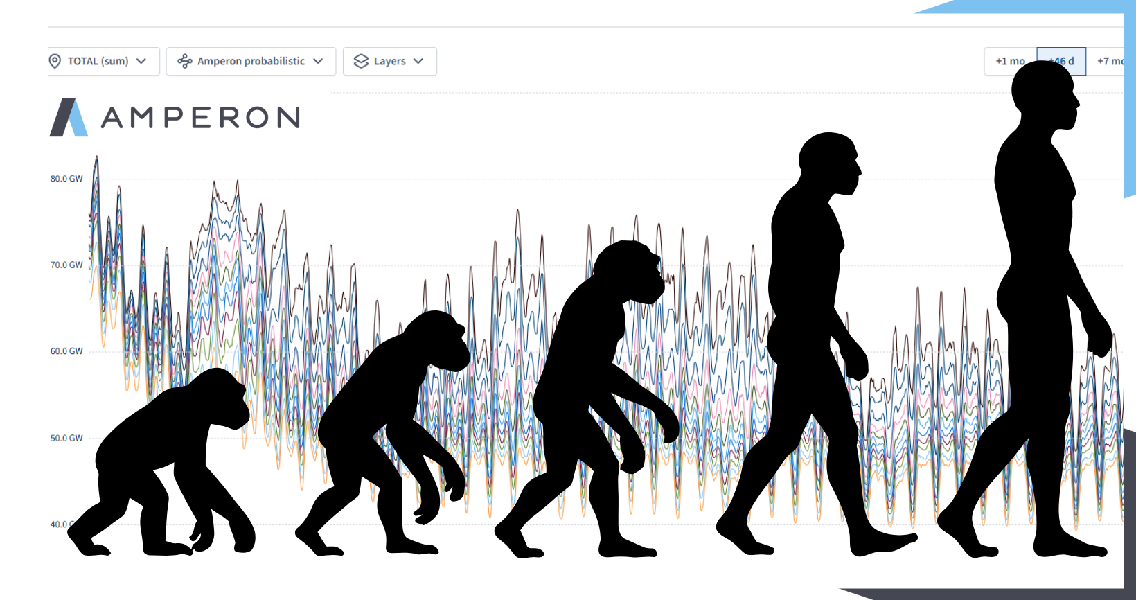
In ERCOT, the median outlook puts this winter's peak near 63 GW in late January. The upper end of our probabilistic seasonal forecast reaches roughly 78 GW on a mid-January morning, above what Texas saw during Fern. In PJM, the median peak sits near 120 GW around the start of February, while the upper end reaches roughly 141 GW, in the same neighborhood as last winter's Fern peak.
Thin supply margins add pressure. PJM enters its first winter under record capacity prices, and its latest auction still fell short of its reliability target. Across MISO, SPP, and PJM, the Department of Energy keeps extending emergency orders that hold aging coal plants online, which supports reliability in a cold snap but keeps costs high.
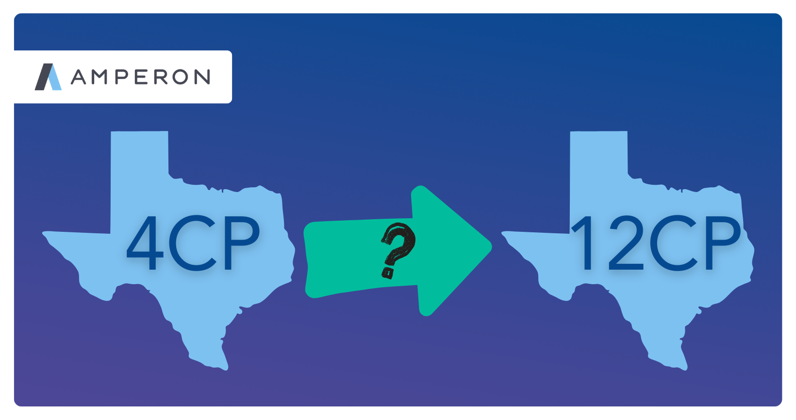
Large energy users in Texas have a new reason to watch winter mornings, too. ERCOT is moving from four summer coincident peaks to twelve monthly ones, with rules due by December 31. December through February used to be safe to ignore. Under 12CP, every month will count, and winter peaks are flatter and harder to time than a 100-degree August afternoon.
Planning for the Days That Break from the Average
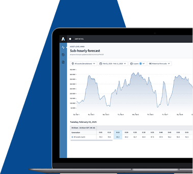
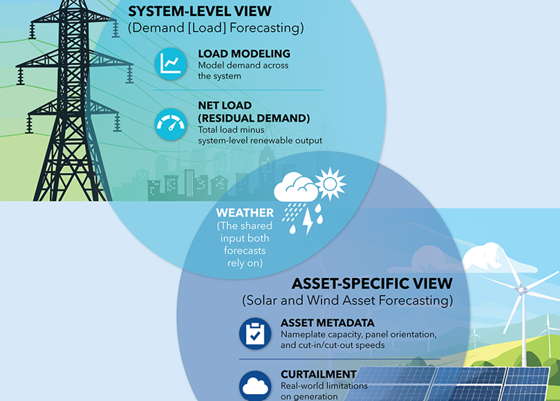
This winter's biggest price swings may come from cloud cover, rain, and wind rather than temperature. That shifts the forecasting challenge beyond demand alone and toward net demand, renewable output, and how much energy batteries have stored.
In a season like this, the value of forecasting lies in identifying which days break from the average, how far, and at what probability. Forecasts that capture tail risk will separate those who are positioned for this winter from those who are surprised by it.
Download the full 2026-2027 US Winter Grid Outlook for region-by-region detail across every US ISO and RTO.