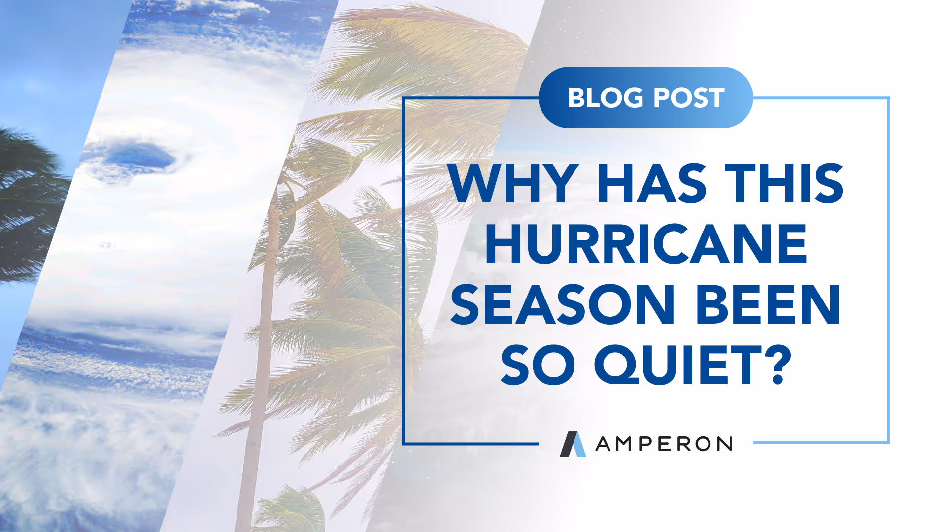
September 10th marks the climatological peak of hurricane season in the Atlantic Ocean. This is the date when conditions on average are most favorable for tropical development, driven by hot ocean temperatures, minimal wind shear, and limited dry air.
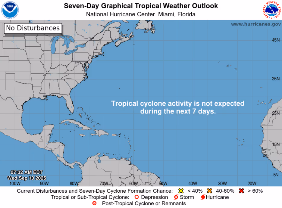
But if you checked the seven-day tropical weather outlook on the 10th, there wasn't a storm or disturbance in sight. According to the New Orleans NWS office, if this quiet streak continues, it will be the latest into September without a storm since 1992. That year, the first September storm, Hurricane Bonnie, did not form until September 18th. It turned out to a below-normal season with only 10 named storms.
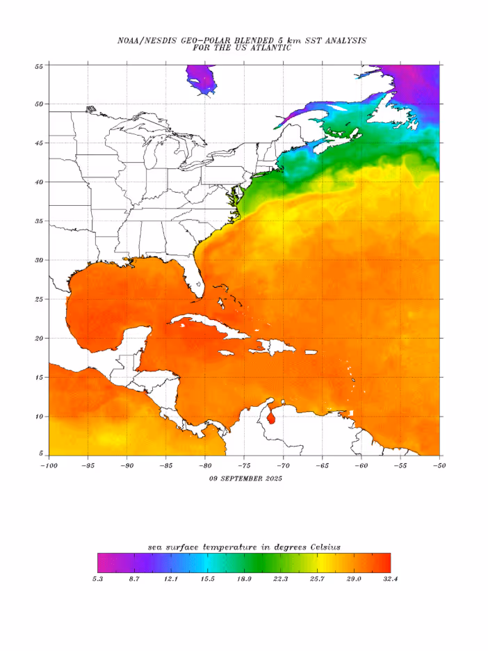
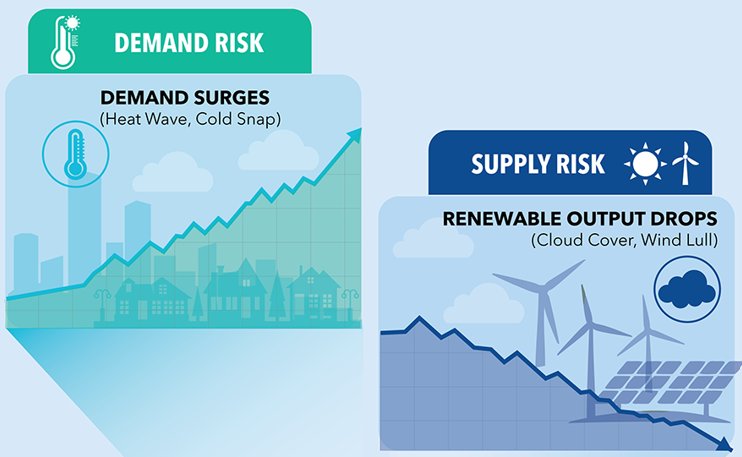
Ocean heat is not the issue. The Atlantic is warmer than average, but we are not breaking records like the past two years. We saw that clearly just a few weeks ago with Hurricane Erin, which underwent rapid intensification from Category 1 to Category 5 in 24 hours, a troubling new normal fueled by exceptionally warm waters. Instead, the culprit behind today’s lull is a broad pocket of dry air and Saharan dust stretching across the Atlantic east of the Caribbean. Dry air suppresses thunderstorm activity, which is a key ingredient for tropical storm development.
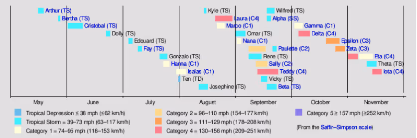
Still, NOAA continues to call for an above average season, maintaining a 50 percent probability. An average season produces about 14 named storms, but so far in 2025 we have only seen six, with Erin being the lone hurricane. Looking back to last year, Hurricane Helene made landfall as a Category 4 hurricane on September 26, and Hurricane Milton followed with a Category 3 landfall on October 9.
Even further back, the 2020 season was exceptionally active, so much so that we ran out of alphabetical names and had to use the Greek alphabet. Between October and November alone, there were eight named storms, five of which reached Category 3 strength or higher at some point.
That does not mean the season is wrapping up. In fact, some of the strongest storms on record have formed well after the September 10th peak. Historically, about 60 percent of tropical activity happens after this point. While the upcoming week looks quiet, once the dry air shifts, storm chances will ramp up quickly. And as always, keep in mind that longer range GFS runs tend to get a little overexcited about potential tropical mischief.


.svg)


%20(3).png)
%20(2).png)
%20(1).png)


.png)


.avif)


.avif)

.avif)

.avif)


.avif)
%20(15).avif)

.avif)


.avif)


.avif)
.avif)


.avif)